‘Take II’?
Where is the ‘Take I’…?
Be patient, please.
***
Ups, I did it again!
On 17 July, I ‘dared’ reporting on my FB account that the ZSU is inside both Staromaiorske and Urozhaine (southern Zaporizhzhya), and that for some 4-5 days already. Furthermore, I wrote the GenStab-U hasn’t declared either village for ‘liberated’ because both are heavily mined and there are constant Russian counterattacks…
….as usually, there are reactions in style of ‘Blasphemy!’ and ‘Heresy!’ from different war-mappers in particular: I’m ‘making up things’, I’m ‘full of shit’, because ‘there’s no evidence for that’, and ‘Tom’s an Ukraine-cheerleader’ and whatever else….
Now, I’ve done the following already the last year in September, when there were similar situations in (north-western) Kherson: have written an article attempting to explain how things work on the battlefield, how the commanders see the situation of their units, and how much is the actual situation different from how is it presented in the mainstream- and the social media; especially, how much is it different from what the war-mappers are insistent upon. Seems, all too many people have forgotten about my post, or didn’t even pay attention about it. Thus, ‘here we go again’…
***
Most of people think about warfare as a ‘linear affair’. And most of people think about warfare as a ‘static affair’.
This is the result of the fact that, generally, people are intelligent creatures – and thus lazy (indeed: the more intelligent: the lazier). It’s easier to think – and simpler to explain and present – the war as a linear and a static affair. Which in turn means that people trying to explain a war prefer lazier methods of explaining what’s going on.
….and the lazier the ‘truth’, the better…
Perfect example is the fact that modern-day ‘war-mappers’ in the social media love lines. Draw a line on a map, and you ‘know’, and your readers ‘know’ where are Ukrainians and where are the Russians. Lines are creating the impression of making everything so beautifully clear. And they are so beautifully static: draw a line, and you can be sure it’s fine if that line is around the next day too: you can go and have a smoke, drink coffee, go to do something else for a while…. And if the ‘line is supported by photo or video’: even better! Unsurprisingly, every war-mapper has it easy to swear his/her maps are the best available, and geo-located with help of XY videos and photos, and thus his/her reconstruction of the frontline is the only one absolutely authentic. Because the impression is that there is evidence for what they say.
….in certain cases, this approach is reaching the levels of religion and religious dogmas: ‘photo or video, or it didn’t happen’….
….like if every single move of either side is documented on a photo or video, and thus there is always evidence for exactly everything….
….like even all the ants in the area in question are now ‘respecting the frontline’, just because somebody – whether in Russia, in the USA, in France, or anywhere else – drew a line across that sector of the map.
….or like every video is something like ‘only truth, nothing but truth, so “God” help us’…
The reality just couldn’t be more distant from this: warfare is neither linear, nor static. Even in ‘trench warfare’, ‘lines’ are something of temporary nature, and the situation is rarely static. Most of the time, the situation is ‘fluid’: there are constant changes. Consequence: what is ‘truth’ right now, is ‘no truth’ already five minutes later. Because, for example, one unit moved from point A to point B, and yet another from point C to point D, while another moved from point X to point Y…
…all of which is the principal reason why next to nobody is trying to explain the air war between Russia and Ukraine in particular: because in air war, everything is moving, permanently and at high speed (and yes: that’s including ground-based air defences).
***
That with Military Organisation
In reality, military commanders are neither trained, nor acting in linear or static way. Well, at last until they are incompetents – of which, arguably, there are always more than enough around (yes: ‘even’ in ‘most professional’ armed services, not ‘just’ in Russia or Ukraine). But, generally, one should expect them to be competent enough to understand they can’t act in ‘linear’ and ‘static’ fashion on a battlefield as ‘wide and deep’ as this in Ukraine. If for no other reason, then because neither side has enough troops to do tidily line-up its troops along the frontline: the battlefield is much too large.
Foremost, instead of deploying ‘one soldier per every metre of width of the frontline’, commanders tend to deploy their units in form of ‘strongholds’: concentrated within an area the commanders in question can oversee, preferably dug-in, too. And, to make sure their subordinates know how to do that properly, their superiors – ‘generals’ – are running regular ‘front inspections’.
Furthermore, keep in mind that the essence of organisation of both the Russian and Ukrainian forces is the ‘triad’:
- 3 platoons are making a company;
- 3 companies are making a battalion;
- 3 battalions are making a brigade.
Sure, there are lots of exceptions from this rule: especially in the ZSU. There is a number of battalions having the 4th or even the 5th company, and some brigades have more than three battalions. But, the ‘triad’ remains the essence.
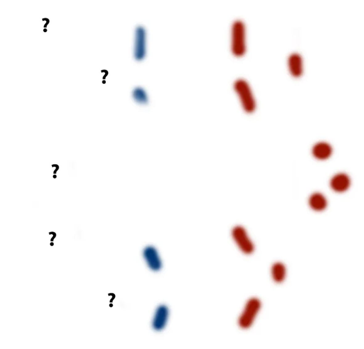
One way or the other, military commanders tend to deploy their units in ‘two up, one in reserve’ fashion. Or ‘three up, one in reserve’. Thus, actually, from their point of view, the frontline is looking like this:
***
Warfare is rarely ‘linear’
In the nature, there are no straight lines. Everything around us is ‘curvy’, including our planet. Straight lines are a human creation. Unsurprisingly, warfare is rarely ‘linear’. It’s rarely ‘horizontal’: at least as often, it’s vertical or diagonal, or wavy, or zig-zagging. That is including trench-lines and minefields, emplaced on hills and through valleys. Indeed: everything is, always, all the time, dictated by terrain, which is next to never ‘absolutely flat’ like your kitchen table, computer monitor, or the surface of your smarthphone: such terrain can only be found in very specific parts of the world, certainly not ‘even in the generally flat’ Ukraine. There are always at least some ‘low hills’, ‘shallow valleys’, intersected by ‘minor ravines’ and/or ‘creeks’…
***
Warfare is always a 4-Dimensional Affair
The party in possession of elevated points (hills, mountains, or tall buildings) is always in advantage, because possession of an elevation is offering a better view at the battlefield. This is why the majority of battles, no matter how large (or small), are fought for possession of dominating heights. Or tall buildings. With other words: even ground warfare – a discipline ‘dominated’ by directions like ‘left’, ‘right’, ‘straight ahead’ etc., i.e. by the movement and position on the ground – is containing directions like ‘up’ and ‘down’.
***
Situational Awareness
The next crucial issue in warfare is called ‘situational awareness’: this is the level of knowledge about the capabilities and intentions of own- and the enemy forces. In modern warfare, military commanders consider the situational awareness a matter of winning or losing. Either one has superior situational awareness, or one has lost the battle before it even began.
Situation awareness is depending on intelligence and reconnaissance: collection of information about enemy units, their organisation, training, equipment, and positions. Modern-day intelligence is going so far that intelligence services are collecting not only such, ‘classic’ information, but also details about enemy commanders. They can literally advise their commanders in style, ‘you’re facing captain, or major, or colonel, or general XY…the guy is this and that kind of person…so, if you do this, he can be expected to react this way, and if you do that, he can be expected to react that way….’
Unsurprising result is that while trying to improve own situational awareness, every party is doing its best to deny the situational awareness to the opponent. This is why the camouflage of field positions, electronic warfare, emission control, and operational security are as important.
Crucial point is: intelligence collection is a never-ending effort and thus the situational awareness is a very fluid topic. The situation is constantly changing, and thus there is nobody who always perfectly knows what’s going on at the given point in time and space.
….and in the worst case, one knows less about own position than the enemy does…
Under ‘ideal’ conditions, ‘countermeasures’ by the ‘blue force’ are going to result in the commanders of the ‘red force’ not knowing the precise disposition of the ‘blue force’. They might know about some positions (especially those closest to them), but nothing or little else, especially not about dispositions of ‘blue force’s reserves, something like this:
***
War is constantly fluid
Having explained the ‘basics’, let me get to the point:
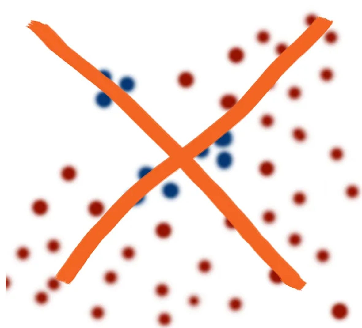
- Forget about these ‘nice, tidy frontlines’ drawn on any kind of maps. The frontline is never ‘nice’, and even less so ‘tidy’. No real map of a battlefield is looking this way:
- ….and no, the situation is never looking like this, either (especially not for such dumb reasons like, ‘but Tom said that…’)
For example:
- Unit X is moving from north towards south. No matter how hard is it trying, no unit is ever moving in a straight line. Conditioned by terrain, speed, vegetation, time of the day etc. it’s always moving something like this:
- The fact the Unit X is in ‘that’ position, right now, or at any other point in time – at the time some video or photo was taken – is anything else than a ‘written guarantee’ that it’s still in the same place. On the contrary: the more time lapses since the video or photo was taken, the more certain is it that the unit X is NOT at that place any more (and, certainly enough: it is not at the same point in time!).
Therefore, and ‘actually’, the situation is almost always something like this:
Unit X is here:
….and then there:
….and before, during or after, it’s perfectly possible that some other unit - including an enemy unit - moved somewhere into the same area, at least passed over the same terrain…
….and any clash between the two is ‘only’ going to take place if their paths cross – in the same piece of space and time.
Foremost, all of this means that it is frequently happening that two different units from two different armed forces are in the same position, although not at the same point in time. Say, ‘blue force’ moves in, captures a position, the ‘red force’ counterattacks, recaptures the position.
Bottom line: the principal rule (in life and in war) is that ‘nothing is forever’, and NO videos, no photos, and certainly no ‘mine is bigger than yours’ is ever going to change that. War is terror and chaos. War is permanent terror and chaos. Which is why it’s always better to avoid one…
(…to be continued….)


Great explanation. It's sad state of blogosphere that such basic facts need to be explained because bloggers don't actually understand nature of what they're talking about.
Staromaiorske is not even an apt example, since even one of the most conservative mappers (war_mapper) with respect to geolocation posted on July 17: "Over the weekend, [UA] advanced into Staromaiors'ke, on the Southern front. The settlement is now contested." It's also worth noting that the built area of the town stretches south exactly 1.5km from the spot the MRAP video was filmed. So it's reasonable to treat the village as hosting troops of both sides at the time of filming.
Good mappers try to represent the fluid and uncertain nature of "control" by denoting contested space; visual evidence is given the highest premium because it offers a higher degree of confidence as to 'how much, where, when'. This is good for an operational overview in a war which rarely sees movement of more than one kilometer in a day, though it will be less applicable for maps with a fast update timescale or an aim of depicting tactical movement -which is much more difficult and less reliable, hence most avoid that approach.
(Nathan Ruser made a few movement-oriented maps in the initial stage of the invasion, when such a model was probably most precise.)
https://twitter.com/Nrg8000/status/1509526813688889348
The one real drawback in terms of keeping track of the battlefield situation is that conclusive evidence on which side has final control or presence in a given location that changes hands many times (especially if it is in a less observed sector) may only emerge weeks later, leading to belated corrections. The famous Oleksandrivka in Kherson was one such case, as was part of the hill between Ivanivske and Klischiivka. But there would be many more corrections if attempting to map each one of dozens of reported or possible tactical actions.
None of this implies that mappers would believe that nothing happened if there wasn't an image of it, or that the state of their map corresponds exactly to the state of the battlefield.
Maybe we could also say that textual and graphical reporting/analysis complement one another... Only glancing at maps of any kind, by anyone, once a day, won't inform you as to 'what's going on'.